Monroe Drive Or Boulevard


It is an Atlanta cliche. Boulevard turns into Monroe Drive because one was black, and the other white. The white people did not want to live on a street with the same name as the black neighborhood. You hear this all the time, with very little explanation. It is plausible. At one time, Ponce de Leon Avenue was a dividing line between the white, and black, neighborhoods. There are, however, a few questions about this name change business. This is a repost.
In the space between I-85 and Dekalb County, there are four streets that change names when they cross Ponce De Leon Avenue. These are Juniper/Courtland, Charles Allen/Parkway, Monroe/Boulevard, and Briarcliff/Moreland. Several streets cross Ponce without changing names, including Spring Street, Peachtree Street, Piedmont Avenue, and North Highland Avenue.
Four thoroughfares are affected by the Ponce rebranding. Juniper/Courtland is mostly commercial, at least south of Ponce. Briarcliff/Moreland is mostly white until you get to the railroad tracks south of Little Five Points. When Moreland Avenue goes under the MARTA line, the neighborhood is Reynoldstown….which was not named for Burt Reynolds.
Charles Allen/Parkway does change from white to black at Ponce. The street name then changes to Jackson Street, the original name, at Highland Avenue. Monroe/Boulevard, one block east of Charles Allen/Parkway, also goes from white to black at Ponce. However, when you cross the railroad tracks, Boulevard goes through Cabbagetown, a white neighborhood. Boulevard residents change color several times before the road dead ends at the Federal Prison. Oakland Cemetery, and Zoo Atlanta, do not play a role in this drama.
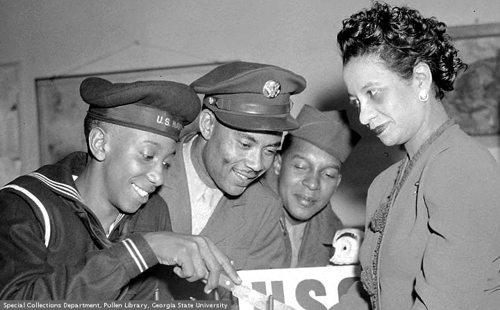
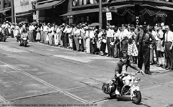
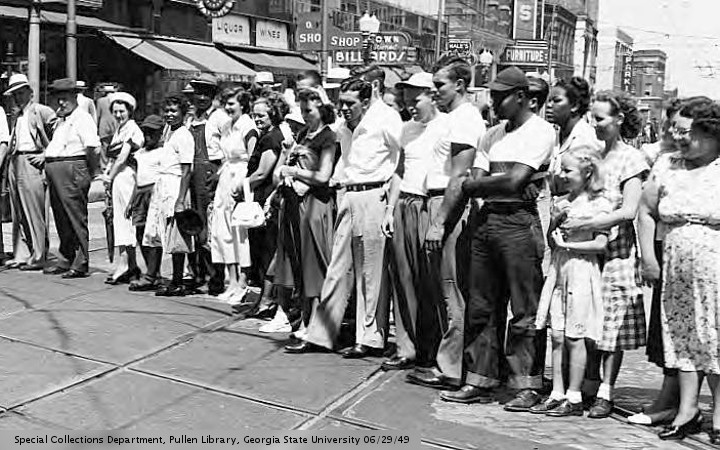
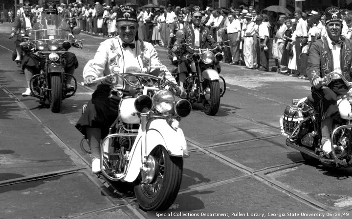
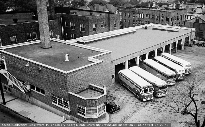
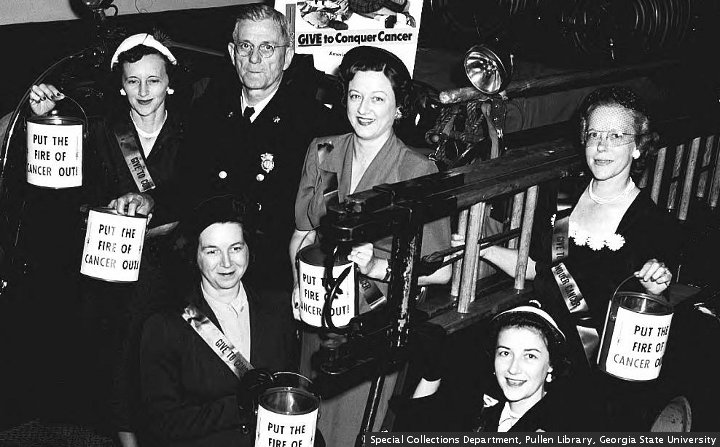
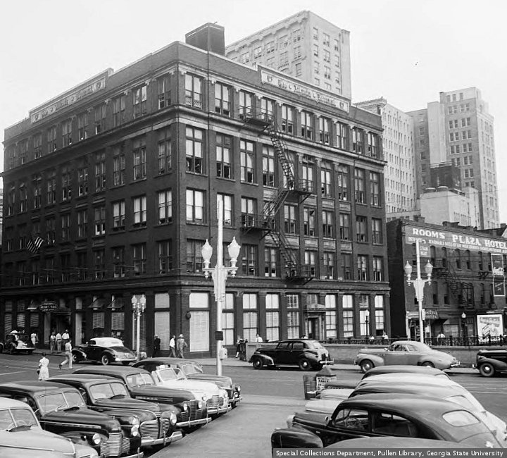
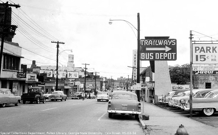
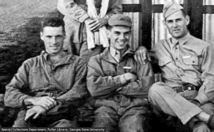
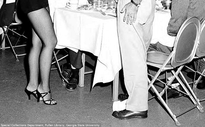
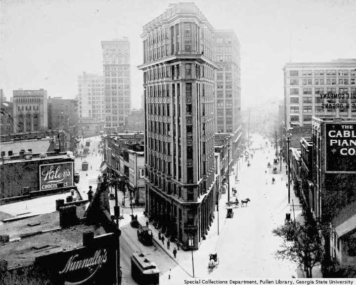
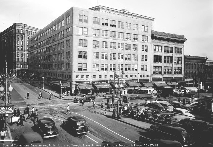
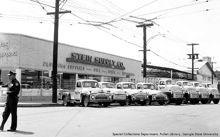
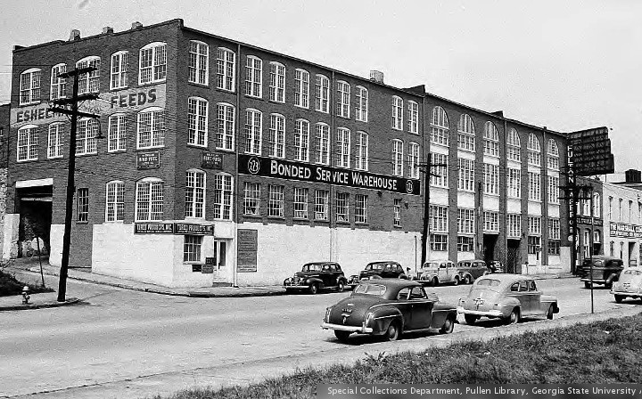
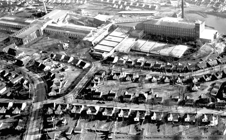
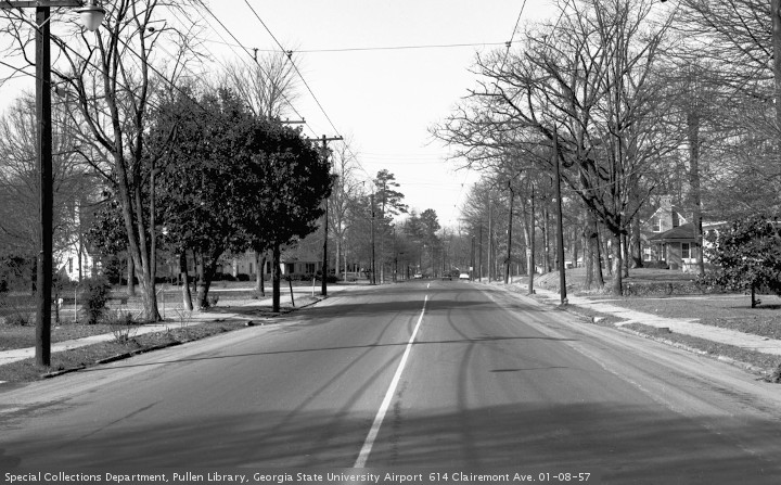
If this litany of street names is boring, it is all right to skip over the text. The pictures today are from “The Special Collections and Archives, Georgia State University Library”.
Roads change names all over the metro area, for a variety of reasons. In the area between Ponce De Leon Avenue and I 20, there are roads that change at railroad tracks (North Highland/Highland, Krog/Estoria.) Others change at Highland Avenue (Parkway/Jackson, Glen Iris/Randolph) or Decatur Street (Hilliard/Grant, Bell/Hill.) Some of these changes are racially motivated, while others are not. Some make sense, while most do not.
No one seems to know when this Monroe/Boulevard thing happened. An 1892 “Bird’s eye view” shows Boulevard sailing off into the horizon, past a racetrack in today’s Piedmont Park. A 1911 map shows Boulevard starting near “L.P. Grant Park,” and sailing past Ponce up to Piedmont Park. 1940 and 1952 maps show Boulevard going past Park Drive, only to turn into Monroe Drive at Montgomery Ferry Road. Finally, a 1969 map of “Negro Residential Areas” shows Monroe Drive changing into Boulevard at Ponce De Leon Avenue. Boulevard is a stand alone street name at all times.
If anyone knows about this name change business, please leave a comment. It would be interesting to know when these changes were made, and what government agency made them. Google has not been helpful, except for pointing the way to several map collections. UPDATE After the last publication of this post, a comment was made about the namesake of Monroe Drive. A post inspired by this comment is reposted below. UPDATE 99% Invisible produced a story about Collier Heights, a pioneering suburb built for Black people. Included in the documentation was a “residential security map” from 1938. The map color-coded the city’s neighborhoods: A, green,”The Best,” B, blue,”Still Desirable,” C, yellow,”Definitely Declining,” D, red, “Hazardous.” The implication was that the D neighborhoods were where Black people lived. If you look at Boulevard on this map, you see that it is still called Boulevard north of Ponce De Leon Avenue. The neighborhood is C. Boulevard does not become a D neighborhood until Wabash Av., a few blocks south of Ponce De Leon.


“North Boulevard was renamed Monroe Drive in 1937 to honor noted Landscape Architect W.L. Monroe who built his house and a plant nursery on the road and was noted for his many landscape projects and public parks in Atlanta.” Faset (Bill) Seay, February 4, 2020, 3:48 pm This comment was made to Monroe Drive or Boulevard. MDOB looks at Atlanta roads that change names, and the reputed racial motivations for these changes. The Monroe story takes place in Piedmont Heights.
“In 1823 Benjamin Plaster was granted 3,000 acres of land along Peachtree Creek and Clear Creek in recognition of his military service during the War of 1812. This was two years before Archibald Holland acquired a similar tract several miles to the east where another village called Terminus was founded in 1837, later renamed Marthasville and eventually Atlanta. … Plaster built a bridge across Peachtree Creek and the trail to it became known as Plaster’s Bridge Road. The bridge’s stone abutments still remain on the creek banks and a short section of the old road, running along the northern boundary of today’s Piedmont Heights, is now called Plasters Avenue. As other settlers followed a township called Easton grew up around Walker’s Grist Mill on Clear Creek near the site of today’s Ansley Mall at Piedmont Road and Monroe Drive.”
“Around 1850 Captain Hezekiah Cheshire arrived from South Carolina. His sons, Napoleon and Jerome, settled on opposite sides of the south fork of Peachtree Creek. They built a bridge across the creek near to connect their farms and the road to it became Cheshire Bridge Road. … In 1864 General Sherman’s Union soldiers swept through Atlanta. General T. J. Wood’s troops built entrenchments along the eastern edge of Easton on the property of Benjamin Plaster’s son Edwin, putting the little community in the battle of Atlanta. These entrenchments remained until the 1950s when they were destroyed by the construction of a Holiday Inn. Today a few crumbling stone steps and historic marker on the site honor the Edwin Cheshire family’s handyman “Gold Tooth John” whose ghost is rumored to still wander the halls of the old hotel at night.
“In 1871 the Atlanta and Richmond Air Line Railway opened a line between Atlanta and Toccoa, Georgia with a depot at Easton. Its “Air Line Belle” train, said to be the finest on the line, allowed Easton residents to commute to Atlanta without having to ford Clear Creek which still had no bridge. Train service spurred growth of the township to 100 residents by 1888 but the surrounding area remained rural and mostly devoted to farming and dairying. The rail line serving Easton was called the “Southern Railway Belt Line” and in 1883 the “Georgia Pacific Belt Line Railroad” connected with it just north of Easton at Belt Junction, an area which later became known as … Armour/Ottley. … In 1895 North Boulevard was built, running through Easton parallel to the railroad, as a main route into Atlanta. … In 1912 Fulton County annexed Easton and renamed it Piedmont Heights. Plaster’s Bridge Road was paved in 1917 and its name changed to Piedmont Road.” (According to this narrative, the Boulevard-Monroe thoroughfare was originally called North Boulevard. This is not the same road as North Avenue. Confusing road names is not limited to multiple Peachtrees.)
“In 1925 Landscape Architect W. L. Monroe bought 15 acres on North Boulevard at Wimbledon Road where he operated a popular nursery and landscaping business for many years, … Remnants of two small stone structures that Monroe built … remain on the grounds of today’s Ansley-Monroe Villas Condominiums. In 1927 a portion of North Boulevard was renamed Monroe Drive in honor of Monroe’s many landscape projects in the city.” … “In 1928 the City of Atlanta began annexing Piedmont Heights by taking in the lots along North Boulevard. In the 1930s a new home could be bought for $4,700 on North Boulevard or Wimbledon Road.”
There is a bit of confusion here. One source says the Monroe renaming was in 1927, while another source says 1937. Then there is the story told by maps, found in the original post.
An 1892 “Bird’s eye view” shows Boulevard sailing off into the horizon, past a racetrack in today’s Piedmont Park. A 1911 map shows Boulevard starting near “L.P. Grant Park,” and sailing past Ponce up to Piedmont Park. A 1940 map shows Boulevard going past Park Drive, only to turn into Monroe Drive at Montgomery Ferry Road. Finally, a 1969 map of “Negro Residential Areas” shows Monroe Drive changing into Boulevard at Ponce De Leon Avenue, like it is today.
Two things are worth noting. None of these maps have a “North Boulevard.” The street name is a stand-alone Boulevard. Second, the 1940 map shows the street as Boulevard at Eighth Street, and Elmwood Drive. The first mention of Monroe is at Montgomery Ferry, near the Monroe Nursery. This might contradict the racial narrative.
The information about Mr. Monroe neither proves, nor disproves, the story that black Boulevard was changed to white Monroe. City on the Verge: Atlanta and the Fight for America’s Urban Future states “In 1925 landscape architect W. L. Monroe bought fifteen acres on what was then called North Boulevard, establishing a plant nursery that thrived for many years. In 1937, the street north of Ponce de Leon was renamed Monroe Drive in his honor (and to distinguish it as a white area as opposed to Boulevard to the south of Ponce).” The book offers no evidence for this, and its “woke” tone is cause for skepticism. While there is circumstantial evidence to support the legend, verifiable facts are hard to come by. A similar story might be the 1956 change of the state flag.
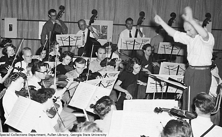
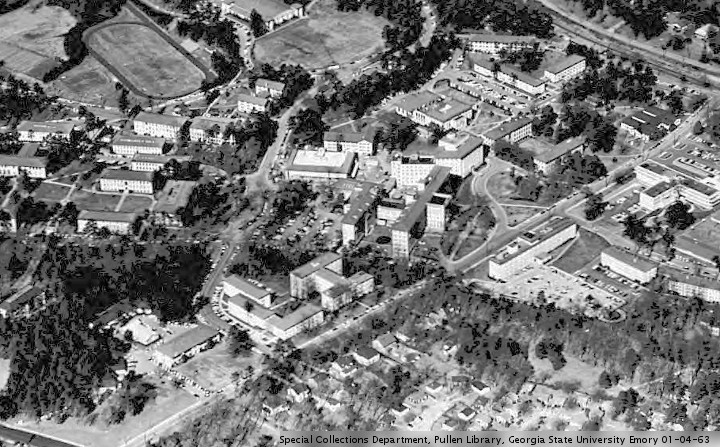
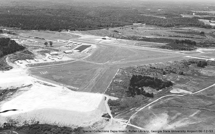
“William Lott Monroe, Sr. (1891-1965), landscape designer and nurseryman, is recognized in newspaper articles as the “landscape artist” during the development of North Fulton Park (later renamed Chastain Memorial Park) in the late 1930s and early 1940s. This work was financed partially through WPA (Works Progress Administration) funds and supported with local prison labor. … There are three main areas in Chastain Park with Monroe’s signature style as a landscape designer: (1) the master grill area; (2) the picnic grounds area; and (3) the amphitheater. … Monroe’s Landscape & Nursery Co. is removed from Fulton County’s payroll: “… Drawn more than $17,000 from the county in the last year and one-half… The company was drawing $500 a month for supervising landscaping of county parks, which was in addition to flowers, shrubs and blueprints sold by it to the county.” (“Nursery Company Is Cut Off Pay Roll.” Atlanta Constitution, Jan. 25, 1941)” … “1941 Amphitheater still under construction, originally planned as an outdoor venue for the Atlanta Symphony Orchestra.” … “It is unknown if Monroe oversaw the completion of construction at the amphitheater.” … “October 22, 1965 William Lott Monroe, Sr. dies in Atlanta.” Pictures are from “The Special Collections and Archives, Georgia State University Library”.


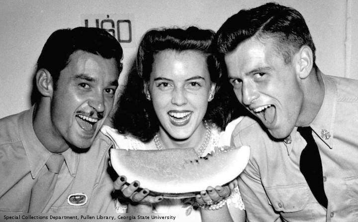
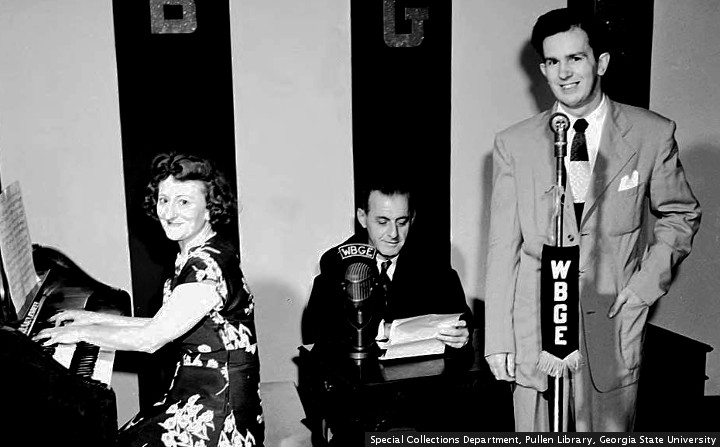
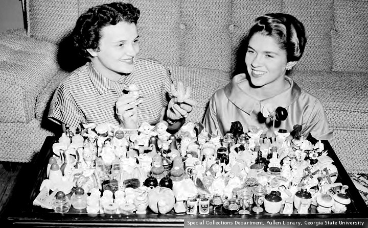
A recent facebook discussion covers that old crowd pleaser, why does Monroe Drive turn into Boulevard? The story is that the street name changed because White people live North of Ponce De Leon Avenue, and Black people live south. Chamblee54 has covered this topic before. The information today will be a bit dry. If you want to skip over the text, you can always enjoy the pictures, from “The Special Collections and Archives, Georgia State University Library.”
“The name changes were intentional and rooted directly in racism.” This judgment from Atlanta magazine is a popular opinion. Unfortunately, there are some street name changes that apparently are not racial. In discussions like this, once racism is blamed, the conversation shuts down. Asking any questions, or exploring the possibility of nuance, is considered racist.
The Atlanta magazine article does not really address Monroe/Boulevard. A 1913 measure, the Ashley Ordinance, is brought up, as well as some of the skirmishing in SW Atlanta over integration. None of those items were in play in the Monroe/Boulevard matter.
The opinion of chamblee54 has not changed. It is entirely possible that Monroe/Boulevard was racially motivated. That sounds like something a Georgia government, of a certain era, would do. However, it does not address the other streets. When were the names changed, and by what government? The answers to the last two questions have been elusive. If anyone reading this has any answers, please leave a comment.
In the space between I-85 and Dekalb County, there are four streets that change names when they cross Ponce De Leon Avenue. These are Juniper/Courtland, Charles Allen/Parkway, Monroe/Boulevard, and Briarcliff/Moreland. Several streets cross Ponce without changing names, including Spring, Peachtree, Piedmont, and North Highland. A wikipedia page, List of former Atlanta street names, has some information about the name changes. More information was found in a collection of maps at the GSU library.
It turns out that Juniper/Courtland change names at North Avenue, one block south of Ponce. As early as 1895, those streets have the same names. On old maps, Juniper ends at North, and Courtand starts a quarter-block west. Wikipedia adds this about Courtland: “North Collins Street (for pioneer James Collins — renamed because of South Collins Street’s reputation as a red light district)”
Briarcliff/Moreland has always been a problem for the racism hypothesis. The race change has traditionally been at the railroad tracks, a half mile south of Ponce. Moreland Avenue was originally County Line Road. It was renamed in honor of a Confederate officer, Major Asbury Fletcher Moreland. “He owned quite a bit of land between County Line Road and Pike Road, which is now Euclid Avenue, some of which is now part of the city’s Bass Recreation Center. Ever the businessman, Moreland built rental homes and a park, which featured a pond and animals — appropriately called Moreland Park — that became a summer getaway for city dwellers.”
Briarcliff was originally known as Williams Mill Road. It changed to Briarcliff after Asa Griggs “Buddy” Candler Jr. built a palace at 1260 Briarcliff Road. The house still stands, barely, and served as the GMHI facility for many years. In 1911 and 1917, Briarcliff is known as Williams Mill, before changing into Moreland. In 1925, and maps issued after 1925, the road is shown as Briarcliff.
Charles Allen/Parkway, one block west of Monroe/Boulevard, was originally known as Jackson Street. The road is still known as Jackson Street, south of Highland Avenue. The earliest map to show Jackson is 1895. By 1930 it has been changed to Parkway, ending at Piedmont Park. Charles Allen Drive does not appear until 1959. Charles Allen was the pastor at Grace United Methodist Church.
Wikipedia has this on Boulevard: “Jefferson Street (marked in 1878 map from North Ave. to Foster St. (now Edgewood Ave.) in today’s Old Fourth Ward) – Rolling Mill Street (north of the railroad) from the late 1860s to about 1880, for the Confederate Rolling Mill, which the retreating Confederate army inadvertently destroyed in 1864.”
Wikipedia has a surprise “Monroe Drive (to honor the Monroe Landscaping Company which did extensive plantings in the area)[17]” The footnote links to a Morningside neighborhood newsletter. There is no mention of Monroe Drive in the cited newsletter.
Before going further with Monroe, we should look at a controversy involving the landscaper William Lott Monroe. “1941 (Jan. 25) Monroe’s Landscape & Nursery Co. is removed from Fulton County’s payroll: “…[D]rawn more than $17,000 from the county in the last year and one-half… The company was drawing $500 a month for supervising landscaping of county parks, which was in addition to flowers, shrubs and blueprints sold by it to the county.” (“Nursery Company Is Cut Off Pay Roll.” Atlanta Constitution, Jan. 25, 1941)” In 1941, Mr. Monroe was working on North Fulton Park, later known as Chastain Park. This park was annexed into the City of Atlanta on January 1, 1952.
The first time Boulevard is mentioned on maps is 1895. The first mention of Monroe Drive is 1951, when Monroe starts at Montgomery Ferry. (Before the Northeast Expressway was built, the road ended at Plasters Avenue, north of the present I 85.) It is not until 1959 that Monroe appears immediately north of Ponce De Leon.
These maps were used in researching this feature. 1878 1895 1911 1917 1921 1925 1930 1930 1931 1934 1935 1939 1946 1951 1952 1952 1954 1959 1967


leave a comment