Monroe Drive Or Boulevard


It is an Atlanta cliche. Boulevard turns into Monroe Drive because one was black, and the other white. The white people did not want to live on a street with the same name as the black neighborhood. You hear this all the time, with very little explanation. It is plausible. At one time, Ponce de Leon Avenue was a dividing line between the white, and black, neighborhoods. There are, however, a few questions about this name change business. This is a repost.
In the space between I-85 and Dekalb County, there are four streets that change names when they cross Ponce De Leon Avenue. These are Juniper/Courtland, Charles Allen/Parkway, Monroe/Boulevard, and Briarcliff/Moreland. Several streets cross Ponce without changing names, including Spring Street, Peachtree Street, Piedmont Avenue, and North Highland Avenue.
Four thoroughfares are affected by the Ponce rebranding. Juniper/Courtland is mostly commercial, at least south of Ponce. Briarcliff/Moreland is mostly white until you get to the railroad tracks south of Little Five Points. When Moreland Avenue goes under the MARTA line, the neighborhood is Reynoldstown….which was not named for Burt Reynolds.
Charles Allen/Parkway does change from white to black at Ponce. The street name then changes to Jackson Street, the original name, at Highland Avenue. Monroe/Boulevard also goes from white to black at Ponce. However, when you cross the railroad tracks, Boulevard goes through Cabbagetown, a white neighborhood. Boulevard residents change color several times before the road dead ends at the Federal Prison. Oakland Cemetery, and Zoo Atlanta, do not play a role in this drama.
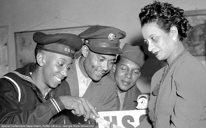
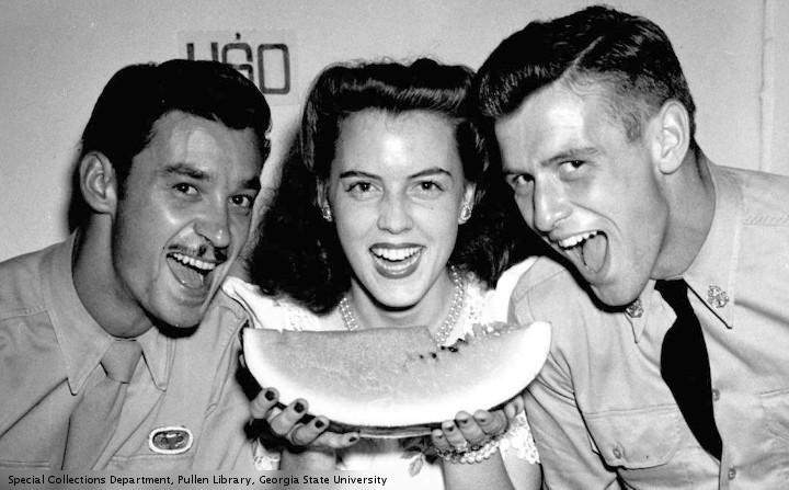
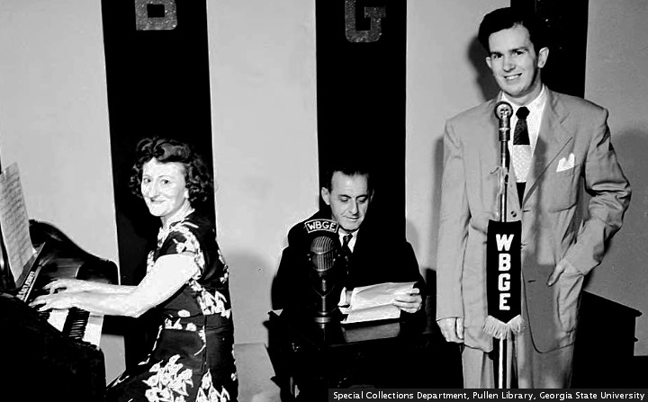
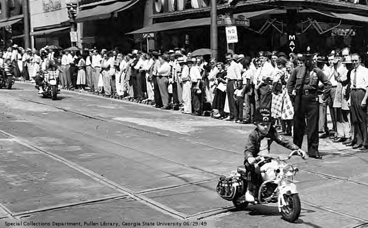
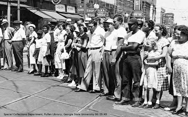
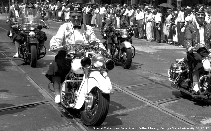
If this litany of street names is boring, it is all right to skip over the text. The pictures today are from “The Special Collections and Archives, Georgia State University Library”.
Roads change names all over the metro area, for a variety of reasons. In the area between Ponce De Leon Avenue and I 20, there are roads that change at railroad tracks (North Highland/Highland, Krog/Estoria.) Others change at Highland Avenue (Parkway/Jackson, Glen Iris/Randolph) or Decatur Street (Hilliard/Grant, Bell/Hill.) Some of these changes are racially motivated, while others are not. Some make sense, while most do not.
No one seems to know when this Monroe/Boulevard thing happened. An 1892 “Bird’s eye view” shows Boulevard sailing off into the horizon, past a racetrack in today’s Piedmont Park. A 1911 map shows Boulevard starting near “L.P. Grant Park,” and sailing past Ponce up to Piedmont Park. A 1940 map shows Boulevard going past Park Drive, only to turn into Monroe Drive at Montgomery Ferry Road. Finally, a 1969 map of “Negro Residential Areas” shows Monroe Drive changing into Boulevard at Ponce De Leon Avenue, like it is today. Boulevard is a stand alone street name at all times.
If anyone knows about this name change business, please leave a comment. It would be interesting to know when these changes were made, and what government agency made them. Google has not been helpful, except for pointing the way to several map collections.


This comment was posted elsewhere. Mr. Bear There is at least one more, on the west side of Atlanta. It was Peyton Road and Hightower Road, dividing at what was then Gordon Road (now MLK Drive). Looking back at the maps, they were two separate streets at an offset intersection. Please see: http://disc.library.emory.edu/atlanta1928topo/#zoom=16&lat=33.74862&lon=-84.46977&layers=BT
This offset took on racial overtones later, in the 1960’s, when a physical barrier was erected near that point. Please see: http://www.atlantamagazine.com/civilrights/atlantas-berlin-wall/
Some of the changes were done purely for real estate values. Better to to be on Peachtree Somethingoranother rather than Ivy Street, for example.
Another comment from Mr. Bear: The Emory maps are a real trove for historians. showing both the original streets and their modern day counterparts. In the case of Briarcliff / Moreland, it appears that this has always been the case, at least back as far as 1928. You can see the logic, with Briarcliff essentially being a residential street while Moreland was a heavier commercial street.
As a streetcar enthusiast, the 1928 maps are also useful in that they show all of the streetcar trackage, not just the car lines only. Georgia Railway and Power had a siding into a quarry that was located near Maddox Park on (then) Bankhead Highway.
Taking the historical perspective, you also can see what once was, places like Buttermilk Bottom, Pittsburgh. At one point, there was a racial component to street name changes. Now, the name changes just serve to confuse old dinosaurs such as myself. What used to be Simpson Road…….
But, things have changed in other ways, too. What was recently (okay, the 1950’s) the Pullman Company car shops on Rogers Street was originally N. P. Pratt Chemical Works. In the 1915 era, they were taking pyrites mined in north Georgia and burning them in piles which left copper metal and showered the neighborhood with sulfuric acid. Time changes things.